Maritime Background
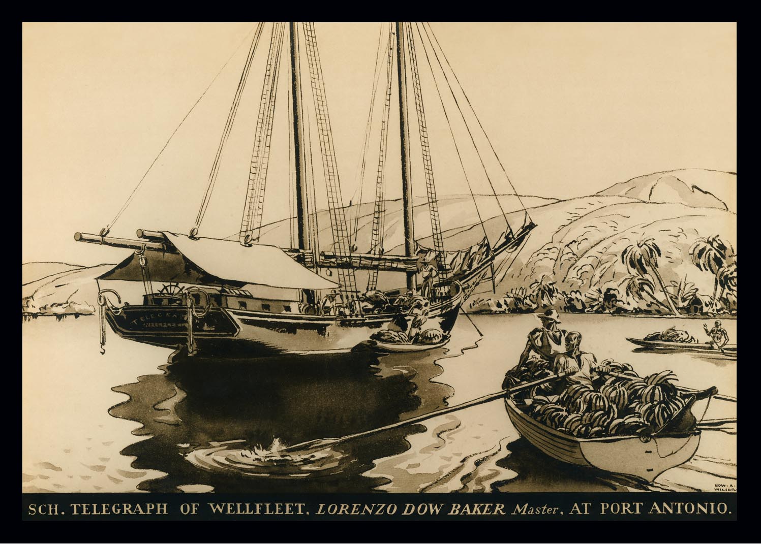
European settlement in the area began in the 17th century. The bay's sheltered waters quickly became a vital resource for the colonists. Shipyards sprang up along its shores, and the bay served as a hub for fishing, trade, and transportation. Cotuit's proximity to the open ocean made it a strategic location for maritime activities.
Why sheltered water mattered.
A protected bay was an economic tool. Small boats could be launched and repaired close to home, fish could be landed without making every trip dependent on larger ports, and goods could move along the coast when roads were rough, slow, or seasonal. For a Cape village, the shoreline was not just scenery. It was infrastructure.
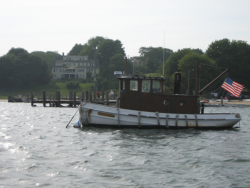
Cotuit's water gave local families access to Nantucket Sound while still offering some protection from the direct force of open ocean weather. That combination supported a village-scale maritime economy: fishing, shellfishing, sail handling, boat repair, coastal exchange, and the practical errands that tied one Cape community to another.
Maritime activity shaped the village pattern.
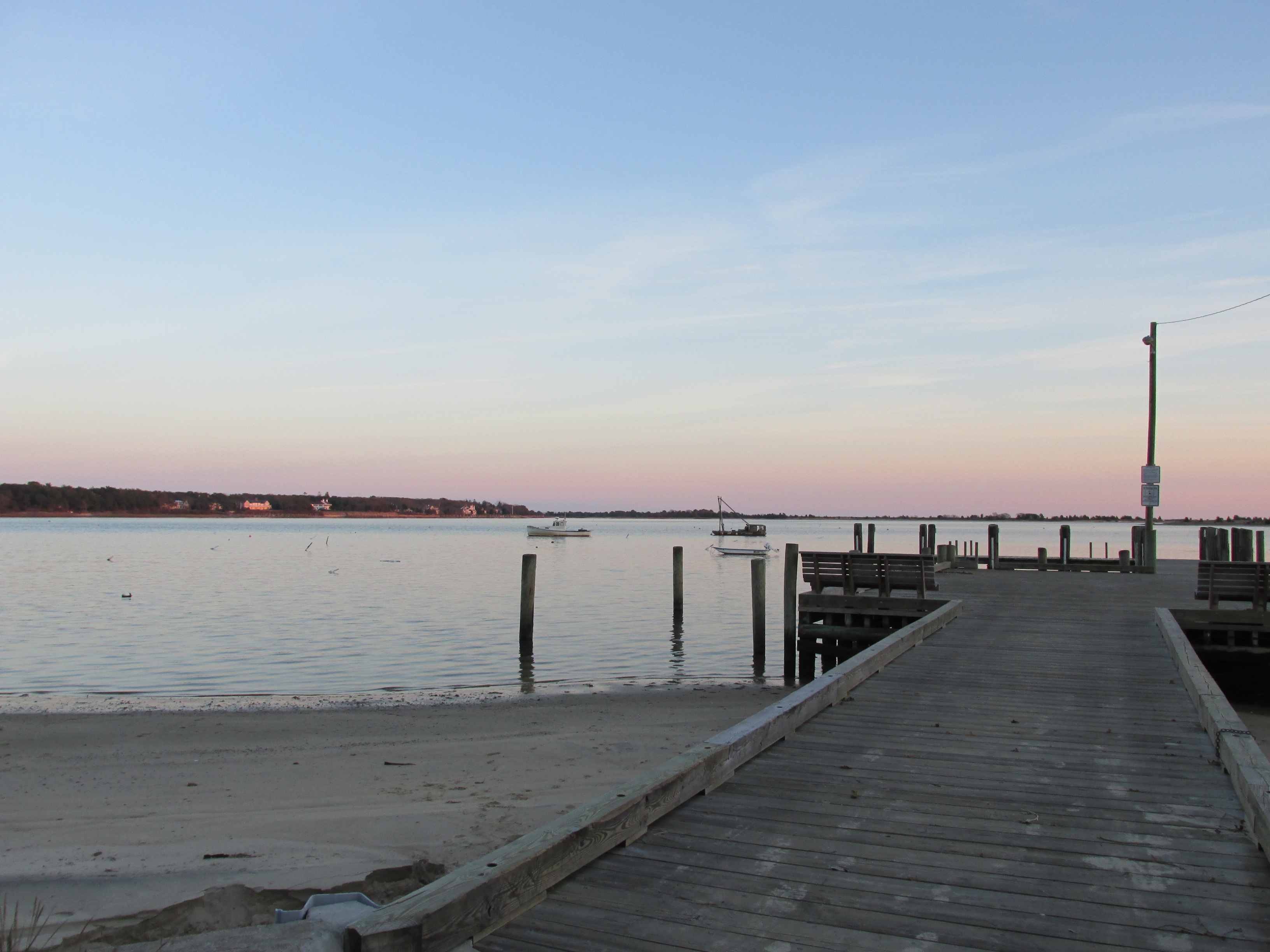
Working waterfronts tend to leave a mark on streets, landings, storage buildings, and community rhythms. Even when old shipyards disappear or shorefront parcels change use, the logic of the harbor remains. People still read the wind, watch the tide, and think about access points. The bay's maritime role helps explain why Cotuit developed around water rather than simply beside it.
This history also makes the later summer-resort story easier to understand. Visitors were drawn to the same qualities that had made the place useful: calm water, coastal views, local boats, and the sense that village life was tied directly to the harbor.